a
asad_gis

Asad

@asad_gis
5,0(3)

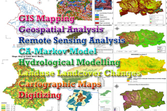
GIS Developer Remote Sensing Analyst

Pakistan
Englisch, Chinesisch, Arabisch, Urdu
Einige Informationen werden in englischer Sprache angezeigt.
Über mich
I am Asad, Remote Sensing,GIS Developer having experience of 6+years. GIS Professional & Experienced Developer of Interactive Mapping,Cartography,GEE Webapps,Web Mapping Geoportals(leaflet,openlayer,geoserve,mapbox,postgres),Spatial Analysis,GIS Report & Presentation,Webgis Dashboards,Satellite Image Processing & Image Classification,Time Series Indices using(GEE,ArcMap,ENVI,QGIS) and Much More!!... Let's discus your order... Mehr lesen

Kompetenzen

a
asad_gis
Asad
offline • 

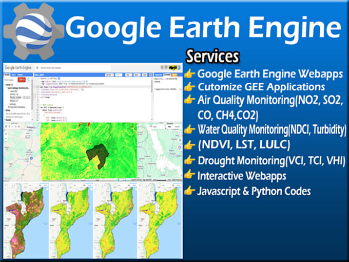
Meine Dienstleistungen

Geoinformationssysteme (GIS)
I will do interactive, geospatial, webgis map visualization
5,0(3)
Programmierung & Technik
I will develop custom google earth engine web apps for geospatial analysis

3 Bewertungen
5,0

(3)
(0)
(0)
(0)
(0)
Zusammensetzung der Bewertung
  • Kommunikation
    5
  • An einen Freund weiterempfehlen
    5
  • Dienstleistung wie beschrieben
    5
1–3 von 3 Bewertungen
Sortieren nach:
Am relevantesten
    E
    image-docs

    explocati

    LK

    Sri Lanka

    5

    Asad is skilled in web mapping and he is great in customer service too. He went the extra mile to assist me during this project and he provides unlimited revisions with the patience to provide the best output. I suggest giving him some time to do his best. Definitely recommend him and looking forward to working with him more.

    Bis zu 50 $

    Preis

    2 Monate

    Dauer

    gig

    Geoinformationssysteme (GIS)

    Hilfreich?
    Ja
    Nein
    H

    hwaqar44

    PK

    Pakistan

    5

    Great work done, put a lot of effort and highly satisfied by the service.

    Hilfreich?
    Ja
    Nein
    S

    shawncovertree

    US

    Vereinigte Staaten

    5

    Very easy process. Would work with again. Stellar attention to detail.

    Hilfreich?
    Ja
    Nein