Professional Land Surveyor, Landscape Architect and Civil Engineering specialist
Großbritannien
Englisch
Einige Informationen werden in englischer Sprache angezeigt.
Über mich
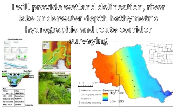
I am a professional Land Surveying, Landscape, and Civil Engineering specialist providing comprehensive land assessment, surveying, and site development solutions. My services include topographic surveys, boundary mapping, GPS/GNSS surveying, drone mapping, LiDAR, wetland delineation, soil investigation, GPR utility mapping, slope stability, floodplain assessment, grading, drainage, and GIS mapping. I deliver accurate survey drawings, terrain models, site analysis, technical reports, and engineering documentation using modern tools and industry-standard methods.... Mehr lesen