Kategorien durchsuchen
Entdecken
Fiverr Pro
Deutsch
$
USD
GIS Pro
Kompetenzen

Meine Dienstleistungen
Möchtest du auf Stundenbasis arbeiten?
Erzähle SadaqatAly, was du brauchst.
40 $
/
StundeGIS, Drone Survey & 3D Modeling Services for Mining and Exploration Projects
company • Vollzeit
May 2026 - Jun 2026 • 1 mo
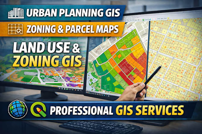
## Job History, Achievements, Insights & Expertise As a Drone Survey, GIS, Geological Mapping, and 3D Modeling Specialist, I have successfully contributed to mining, infrastructure, land management, and engineering projects by delivering accurate geospatial data and actionable insights. My experience spans the complete project lifecycle, from mission planning and aerial data acquisition to advanced GIS analysis, terrain modeling, and final reporting. I specialize in UAV-based surveys for mining exploration, stockpile volume calculations, topographic mapping, contour generation, digital elevation models (DEM), orthomosaic production, and high-resolution 3D terrain reconstruction. Using industry-standard software such as Pix4D, Agisoft Metashape, ArcGIS Pro, QGIS, AutoCAD, and Global Mapper, I transform raw drone imagery into precise engineering deliverables that support planning, monitoring, and decision-making. Throughout my career, I have collaborated with multidisciplinary teams, including geologists, mining engineers, surveyors, environmental consultants, and project managers. My work has helped optimize site planning, improve operational efficiency, reduce survey time and costs, and enhance the accuracy of geological and spatial analysis. My technical expertise includes geological mapping, remote sensing, photogrammetry, LiDAR and UAV workflows, GIS database development, spatial analysis, 3D visualization, and volumetric calculations. I am experienced in producing professional outputs such as contour maps, mine site models, cut-and-fill analyses, cross-sections, point clouds, KML/KMZ files, and interactive geospatial datasets. One of my key strengths is combining drone technology with GIS intelligence to provide clients with reliable, data-driven solutions tailored to exploration, excavation planning, environmental monitoring, and resource management. I prioritize precision, quality assurance, and timely project delivery while maintaining clear communicatio
Geo Spatial Analyisis and data visualization
Gilgit Baltistan Disaster Management Authority • Teilzeit
Feb 2023 - Nov 2025 • 2 yrs 9 mos
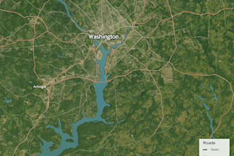
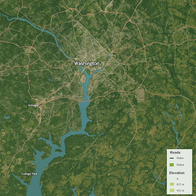
Project: Data Visualization & Spatial Analysis for Gilgit Baltistan Disaster Management Authority (GBDMA) I worked on a one-year GIS-based data visualization project under government protocols and standards for the Gilgit Baltistan Disaster Management Authority. The project focused on transforming complex disaster-related datasets into clear, actionable spatial insights to support decision-making and emergency response planning. My responsibilities included collecting, organizing, and analyzing spatial and non-spatial data related to hazard zones, infrastructure, population exposure, and vulnerable areas. Using advanced GIS tools and geospatial techniques, I developed thematic maps, risk visualization dashboards, and spatial models to highlight disaster-prone regions and critical risk patterns. I implemented geoprocessing workflows, spatial analysis, and map automation to ensure accurate, real-time visualization outputs. The project supported strategic planning, resource allocation, and disaster preparedness initiatives across Gilgit Baltistan. This experience strengthened my expertise in government data standards, spatial intelligence, hazard mapping, and professional cartographic visualization. Tools & Technologies: ArcGIS, QGIS, Spatial Analysis, Remote Sensing, Data Visualization, Geospatial Modeling
| (13) | ||
| (1) | ||
| (0) | ||
| (0) | ||
| (0) |

aprilbonifatto

Vereinigte Staaten
This is detailed work and I appreciated our communication in getting the project completed. Thank you!!
Antwort des Freelancers

mruxpro

Pakistan
Sadaqat and his team did an exceptional job. He is very cooperative and makes an effort to understand the details thoroughly to deliver the best results possible.
Antwort des Freelancers
blainesumner
Vereinigte Staaten
Auftrag abgebrochen
Great communication and very polite.
Antwort des Freelancers

webcollectionte
Pakistan
Your work i much more appreciated, thanks for your fast delivery, i am very satisfied with your quality work, i recommend to others,
Bis zu 50 $
Preis
1 Tag
Dauer

saharabbas1
Pakistan
i love your Extra fast Delivery Thanks , i prefer to fiverr community

Antwort des Freelancers