Kategorien durchsuchen
Entdecken
Fiverr Pro
Deutsch
$
USD


I am a professional GIS and remote sensing engineer with a background in surveying, specializing in transforming your raw geospatial data into stunning, presentation-ready 3D terrain maps.
Using cutting-edge AI visualization tools including ComfyUI and QGIS, I turn DEM, DOM, point cloud (LAS/LAZ), and oblique photography (OSGB/OBJ) data into high-quality visualizations that your clients, supervisors, or investors can immediately understand.
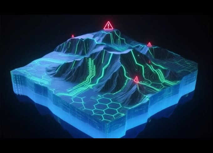
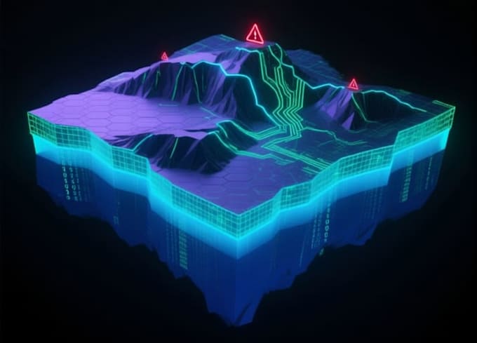
Whether you need a clean Government Report Style map with blue-gray scientific color schemes, a futuristic Sci-Fi/Tech visualization with neon aesthetics, or a high-contrast Risk Heatmap for hazard assessment and terrain analysis, I deliver results that combine professional surveying accuracy with compelling visual impact.
Unlike general AI artists, I understand terrain logic, contour intervals, elevation accuracy, and what a professional GIS deliverable should look like.
My three packages cover all needs:
AI Concept Videos for Drone and Economy
Sprachen