Kategorien durchsuchen
Entdecken
Fiverr Pro
Deutsch
$
USD


Automatische Übersetzung
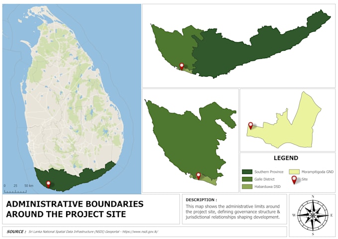
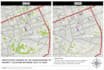
Ich biete professionelle GIS-Kartierung, geospatiale Analyse und Fernerkundungsdienste mit Tools wie QGIS, Google Earth Engine und Python an. Meine Leistungen umfassen hochwertige kartografische Kartenentwicklung, räumliche Analyse, Landnutzungskartierung, Geländeanalyse, Umweltbewertungen, Stadtplanung und Satellitenbildverarbeitung. Mein Fokus liegt auf präzisen, optisch ansprechenden und datenbasierten Ergebnissen, die auf Forschungs-, akademische, Infrastruktur- und professionelle Planungsprojekte zugeschnitten sind.
Professional GIS Specialist
Sprachen
Automatische Übersetzung