Kategorien durchsuchen
- Im Trend 🔥Im Trend 🔥
- Buch veröffentlichen
- Buchgestaltung
- Buchlektorat
- Buch- & E-Book-Marketing
- Kinderbuch-Illustration
- Testlesen
- E-Book formatieren
- Buch & E-Book verfassen
- Marke aufbauen
- MarkenstrategieNeu
- Brand-Style-Guide
- Social-Media-Management
- Social-Media-Design
- UGC-Videos
- Videoanzeigen & Werbespots
- Paid Social Media
- Grafik & DesignGrafik & Design
- Logo & Markenidentität
- Logo-Design
- Brand-Style-Guide
- Visitenkarten & Bürobedarf
- Schriftarten & Typografie
- Künstlerische LeitungNeu
- Logo Maker Tool
- Kunst & Illustration
- Illustrationen
- KI-Künstler
- KI-Avatar-DesignNeu
- Porträts & Karikaturen
- Illustration von ComicsNeu
- Cartoon-Illustration
- Storyboards
- Album-Cover-Design
- Musterdesign
- Tattoo-Design
- Sonstiges
- Designberatung
- Web- & App-Design
- Website-Design
- App-Design
- UX-Design
- Landingpage-Design
- Icon-Design
- Druckdesign
- Broschürendesign
- Flyer-Design
- Produktverpackung
- Poster-Design
- Katalog-Design
- Speisekarten-Design
- Bücher und E-Books
- Buchgestaltung
- Buchumschlag
- Buchlayout-Design & Satz
- Kinderbuch-Illustration
- Comicbuch-IllustrationNeu
- Visuelles Design
- Bildbearbeitung
- KI-BildbearbeitungNeu
- Präsentationsdesign
- Bewerbungsdesign
- Infografik-Design
- Vektorisierung
- Marketing-Design
- Social-Media-Design
- E-Mail-Design
- Web-Banner
- Werbeschilder-Design
- Architektur & Gebäudedesign
- Architektur & Innenarchitektur
- Landschaftsgestaltung
- Bauingenieurwesen
- Lichtdesign
- Mode & Merchandise
- T-Shirts & Merchandise
- Modedesign
- Schmuckdesign
- Programmierung & TechnikProgrammierung & Technik
- Website-Entwicklung
- Business-Websites
- Onlineshop erstellen
- Individuelle Websites
- Landingpages
- Dropshipping-Websites
- Sprachen & Frameworks
- Python
- React
- JAVA
- React Native
- Flutter
- KI-Entwicklung
- KI-Websites & -SoftwareNeu
- KI-App-EntwicklungNeu
- KI-Integrationen
- KI-Automatisierungen und -Agenten
- KI-Feintuning
- KI-Technologie-BeratungNeu
- Mobile App-Entwicklung
- Plattformübergreifende Entwicklung
- Android App-Entwicklung
- iOS-App-Entwicklung
- Wartung mobiler Apps
- Cloud & Cybersicherheit
- Cloud Computing
- DevOps Engineering
- Cybersecurity
- Digitales MarketingDigitales Marketing
- Suchmaschinenoptimierung
- SEO
- Generative Engine OptimizationNeu
- Suchmaschinenmarketing (SEM)
- Lokales SEO
- E-Commerce-SEO
- Video SEO
- Soziale Medien
- Social-Media-Marketing
- Paid Social Media
- Social Commerce Neu
- Influencer-Marketing
- Online Communities
- Kanalspezifisch
- TikTok Shop
- Facebook-Werbekampagne
- Instagramm-Marketing
- YouTube-Werbung
- Google SEM
- Shopify Marketing
- Methoden & Techniken
- Video-Promotion
- E-Commerce-Marketing
- E-Mail-Marketing
- E-Mail-Automatisierungen
- Marketingautomatisierung
- Gastbeiträge
- Affiliate-Marketing
- Display-Werbung
- PR
- Crowdfunding
- SMS-Marketing
- Bring dein Marketing mit KI auf ein neues Level
- KI-Prompts für Marketingstrategie
- Marken-Persönlichkeitsdesign
- Personalisierung des E-Mail-Marketings
- KI-gestütztes Kampagnenmanagement
- KI-gestützte Anzeigengebote und -automatisierung
- Video & AnimationVideo & Animation
- Bearbeitung & Postproduktion
- Videobearbeitung
- Visuelle Effekte
- Video Intros & Outros
- Video RepurposingNeu
- Video-Vorlagen-Bearbeitung
- Untertitel & Bildunterschriften
- Moderationsvideos
- UGC-Videos
- TikTok-UGC-Videos
- UGC-Anzeigen
- Sprechervideos
- Motion Graphics
- Animierte Logos
- Lottie- & Web-Animation
- Textanimation
- Animation
- Charakteranimation
- Animierte GIFs
- Animationen für Kinder
- Animationen für Streamer
- Rigging
- NFT-Animation
- Gefilmte Videoproduktion
- Videografen
- Gefilmte Videoproduktion
- Erklärvideos
- Animierte Erklärfilme
- Realfilm-Erklärfilme
- Screencast-Videos
- eLearning-Videoproduktion
- Crowdfunding-Videos
- Text & ÜbersetzungText & Übersetzung
- Content-Erstellung
- Artikel & Blog Posts
- Content-StrategieNeu
- Website-Texte
- Drehbuchschreiben
- Kreatives Schreiben
- Podcast-Texte
- Reden schreiben
- Recherche & Zusammenfassungen
- Erfahrene Autoren finden
- Lektorat & Rezension
- Korrekturlesen & Lektorat
- Akademische Unterstützung Neu
- KI-Lektorat
- Schreibberatung
- Buch- & eBook-Veröffentlichung
- Buch & E-Book verfassen
- Buchlektorat
- Testlesen
- Buch- und Literatur-Übersetzungen
- Veröffentliche dein Buch selbst
- Bewerbung & Karriere
- Lebenslauf schreiben
- Anschreiben
- LinkedIn-Profile
- Stellenbeschreibungen
- Business- und Marketingtexte
- Brand Voice & Tone
- Firmennamen & Slogans
- Fallstudien
- Produktbeschreibungen
- Werbetexte
- Verkaufstexte
- Werbemails
- Social-Media-Copywriting
- Pressemitteilungen
- UX-Texte
- Übersetzung & Transkribieren
- Übersetzung
- LokalisierungNeu
- Transkription
- DolmetschenNeu
- Branchenspezifische Inhalte
- Wirtschaft, Finanzen & Recht
- Gesundheit & Medizin
- Internet & Technologie
- Nachrichten & Politik
- Marketing
- Immobilien
- Musik & AudioMusik & Audio
- Musikproduktion & Song schreiben
- Musikproduzenten
- Komponisten
- Sänger & Vokalisten
- Studiomusiker
- Songwriter
- Erkennungsmelodien & Intros
- Individuelle SongsNeu
- Tontechnik & Postproduktion
- Mix und Mastering
- Audiobearbeitung
- Vocals bearbeiten
- Voiceover & Erzählung
- Lieferung in 24 Stunden
- Weibliche Stimme
- Männliche Stimme
- Französische Stimme
- Deutsche Stimme
- Sound-Design
- Sound-Design
- Meditationsmusik
- Audio-Logo & Sound-Branding
- Individuelle Patches & Samples
- Audio-Plugin-Entwicklung
- Lektionen & Transkriptionen
- Online-Musikunterricht
- Musik-Transkription
- Musik- & Audio-Beratung
- BusinessBusiness
- Unternehmensgründung & -beratung
- LLC-Registrierung
- Unternehmensgründung & -registrierungNeu
- Marktanalyse
- Businesspläne
- Unternehmensberatung
- HR-Beratung
- KI-Beratung
- Betrieb & Management
- Virtuelle Assistenz
- Projektmanagement
- Softwaremanagement
- E-Commerce-Management
- Supply-Chain-Management
- Beratung zu Zöllen und EinfuhrabgabenNeu
- Eventmanagement
- Produktmanagement
- Rechtsdienstleistungen
- Verwaltung des geistigen EigentumsNeu
- Rechtsdokumente & -Verträge
- Rechtsrecherche
- Allgemeine Rechtsberatung
- FinanzenFinanzen
- Buchhaltungsdienstleistungen
- Fractional-CFO-Dienstleistungen
- Finanzberichterstattung
- Buchführung
- Lohnbuchhaltung
- Einen Finanzexperten finden
- Unternehmensfinanzierung
- Due Diligence
- Wertermittlung
- Beratung zu Fusionen & Übernahmen
- Unternehmensfinanzierungs-Strategie
- Steuerberatung
- Steuererklärungen
- Steueridentifikation
- Steuerplanung
- Einhaltung von Steuervorschriften
- Steuerbefreiungen
- KI-ServicesKI-Services
- Mobile KI-Entwicklung
- KI-App-EntwicklungNeu
- KI-Websites & -SoftwareNeu
- KI-Chatbot
- KI-Integrationen
- KI-Automatisierungen und -Agenten
- KI-Feintuning
- KI-Technologie-BeratungNeu
- KI-Projekte, die für dich gemanagt werden
- KI-Künstler
- KI-Avatar-DesignNeu
- ComfyUI-Workflow-Erstellung
- KI-BildbearbeitungNeu
- Midjourney-Künstler
- Stable Diffusion-Künstler
- Alle Dienstleistungen im Bereich KI-Kunst
- KI für Unternehmen
- KI-Beratung
- KI-Strategie
- KI-Kurse
- KI-Inhalte
- KI-Lektorat
- Individuelle Text-PromptsNeu
- Persönliches WachstumPersönliches Wachstum
- Persönliche Weiterentwicklung
- Online-Nachhilfe
- Sprachunterricht
- Life-Coaching
- Karriereberatung
- Kurse zu generativer KI
- Gaming
- Game Coaching
- Coaching zu Marvel RivalsNeu
- E-Sports-Management & -Strategie
- Game-MatchmakingNeu
- Ingame-Erstellung
- Spielerlebnis & FeedbackNeu
- Gaming-Mitschnitte & Guides
- BeratungBeratung
- Unternehmensberater
- Rechtsberatung
- Unternehmensberatung
- HR-Beratung
- KI-Beratung
- Businesspläne
- E-Commerce-Beratung
- Marketingstrategie
- Marketingstrategie
- Content-Strategie
- Social-Media-Strategie
- Influencer-Strategie
- Video-Promotion-Beratung
- SEM-Strategie
- PR-Strategie
- Coaching & Beratung
- Berufsberatung
- Life-Coaching
- Game Coaching
- Styling- & Beauty-Beratung
- Reisetipps
- ErnährungscoachingNeu
- AchtsamkeitscoachingNeu
- Reisen
- DatenDaten
- Datenwissenschaft & ML
- Maschinelles LernenNeu
- Computer Vision
- NLP
- Deep Learning
- Generative Modelle
- Zeitreihenanalyse
- Datenanalyse & Visualisierung
- Datenanalyse
- Datenvisualisierung
- Daten-Tagging & -Annotation
- Dashboards
- Datenerfassung
- Datenerfassung
- Dateneingabe
- Daten-Scraping
- Datenformatierung
- Datenbereinigung
- DatenanreicherungNeu
- Datenmanagement
- Datenverarbeitung
- Data Governance & Datenschutz
- Datenbanken & Engineering
- Datenbanken
- Datentechnik
- FotografieFotografie
- Produkte & Lifestyle
- Produktfotografie
- Food-Fotografie
- Lifestyle- und Modefotografie
- Menschen & Szenen
- Porträtfotografie
- Eventfotografie
- Immobilienfotografie
- Landschaftsfotografen
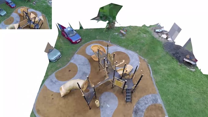
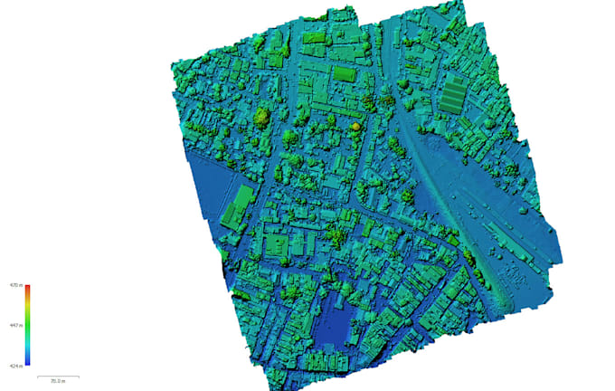
- Drohnen-Fotografen Neu