Kategorien durchsuchen
Entdecken
Fiverr Pro
Deutsch
$
USD

Geospatial Scientist
Kompetenzen
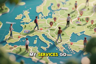
Meine Dienstleistungen
Geospatial Scientist
Independent-online solutions • Freiberufler
Jun 2025 - Present • 11 mos
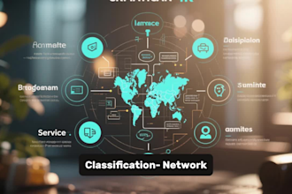
Delivering end-to-end geospatial solutions for clients across environmental monitoring, agriculture, urban planning, and infrastructure projects. Conducting land suitability analysis, vegetation change detection, spatial database development, and interactive web map dashboards. Processing satellite and UAV imagery for classification, supervised and unsupervised modeling, and producing high-accuracy thematic maps. Building automated workflows using Python and R to streamline spatial analysis and reporting. Providing consulting on GIS system design, data management, and location intelligence to support evidence-based decision-making.
